How the water is shared
The terraces that fill the postcards are the visible half of a system of canals, weirs, temples and meetings. This is how it works, and why UNESCO listed it.

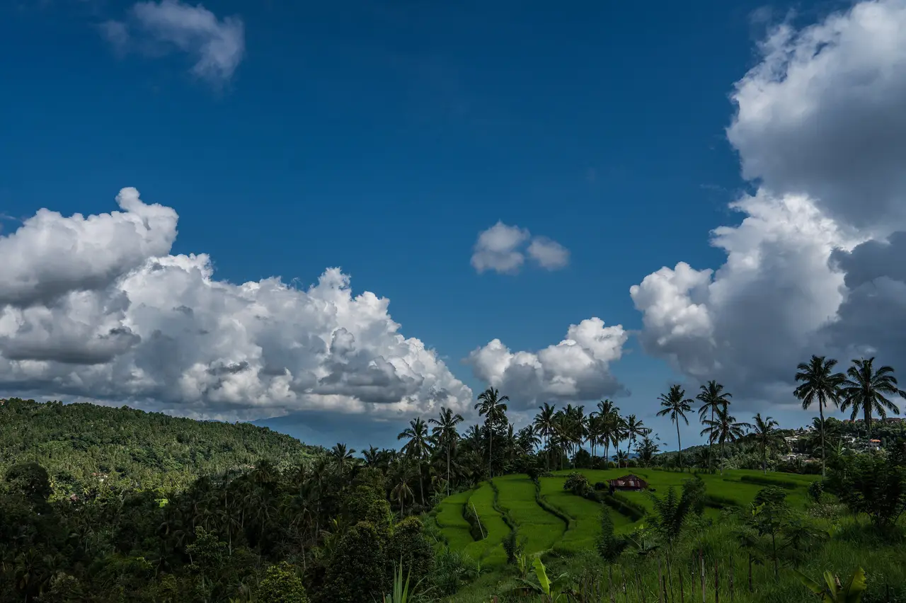
Walk through the rice country at Jatiluwih or Tegallalang and, before you notice the terraces, you notice the water: a channel at your ankle, a small concrete divider sending half the flow left and half right, a shrine at the point where a canal leaves the river. Every drop of it has been argued over, and agreed, for roughly a thousand years.
The subak
The Balinese word for the system is subak: the irrigation of the island's paddies, and the community of farmers that runs it. It is thought to have taken shape in the 9th century, and the first written record of it dates from around the 11th. By the latest count there were about 1,559 subaks on the island, each one a group of farmers who share a source of water and a set of channels, and who meet to decide how the water is used.

Taking turns
A mountain island has a simple problem: the farmers at the top could take all the water, and those at the bottom would have none. The subaks solve it by taking turns. Under the system called nyorog, the subaks along a river are divided into three groups, upstream, middle and downstream, and the water reaches each group in turn over about two weeks. Planting is synchronised, so everyone works to the same calendar.
That synchrony does a second job. When a whole district plants together and harvests together, the fields sit empty at the same time, and the pests that live on rice lose their home. The anthropologist Stephen Lansing's research found that the temples' schedule was balancing two things at once, the water available and the pests kept in check, across whole regions.
Water temples
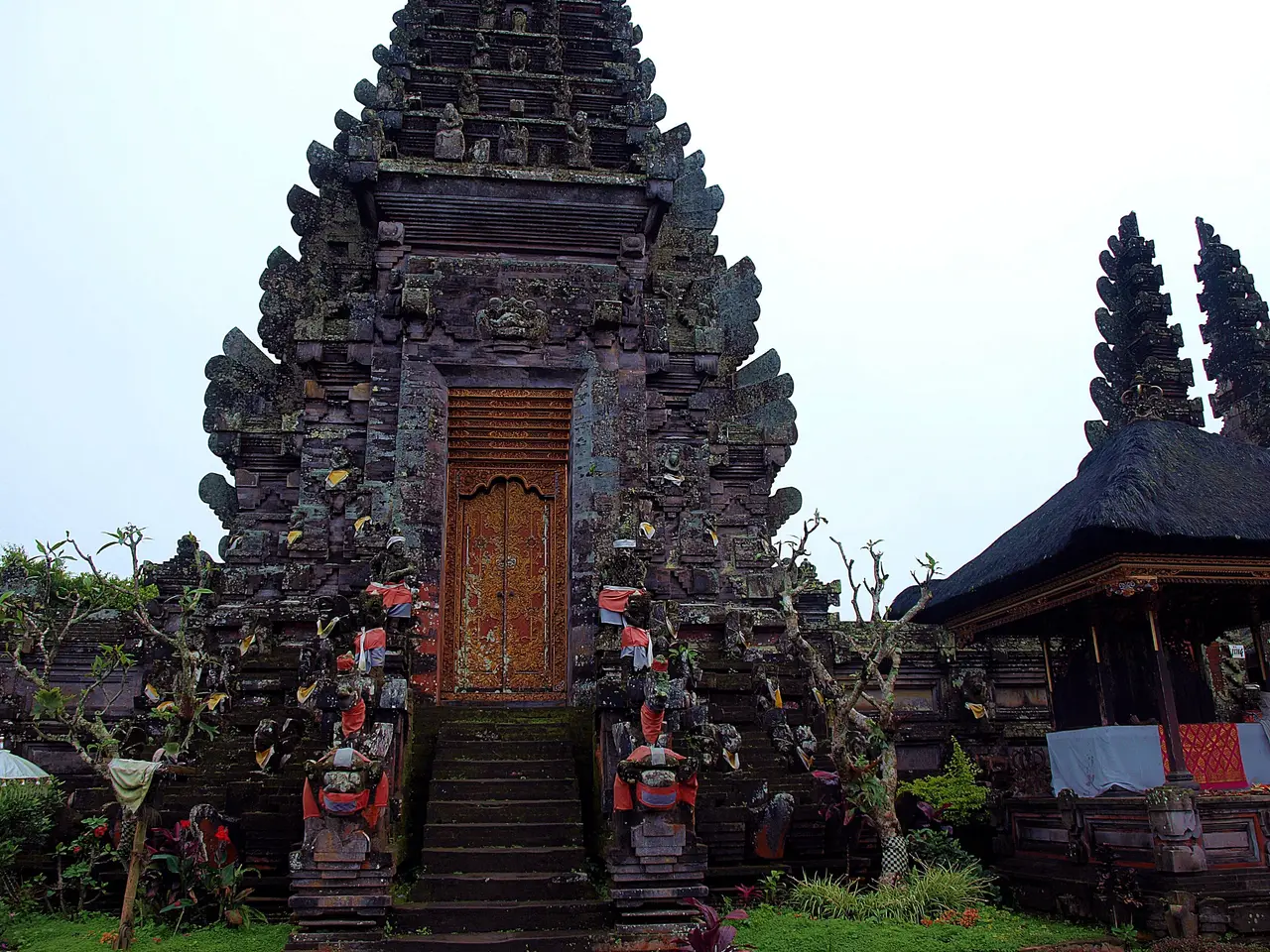
The calendar is kept by temples. Each subak has its own, at the head of its channels, and above them stand the temples of larger groups, up to the supreme water temple, Pura Ulun Danu Batur, on the shore of Lake Batur. All the other water temples on the island are connected to it. The ceremonies held at these temples mark the irrigation calendar: when to open the gates, and when to plant.

Three kinds of harmony
The thinking behind it has a name, Tri Hita Karana: three causes of well-being, which are the human world, the natural world and the spiritual world, kept in balance. For the farmer it is practical rather than abstract. You keep the channel clear for the person below you, you give the temple its offerings, and you plant when the others plant.
Why UNESCO listed it
On 6 July 2012 UNESCO inscribed the Cultural Landscape of Bali Province: the Subak System as a Manifestation of the Tri Hita Karana Philosophy. It is not one place but five: the subak landscape of Catur Angga Batukaru, which includes Jatiluwih; Lake Batur; the Pakerisan watershed; the royal temple of Taman Ayun; and the supreme water temple, Pura Ulun Danu Batur. What was listed is the way the farming, the temples and the water are run as one thing.

Walking through it
- Stay on the paths. The narrow walls between the paddies are the farmer's work, they break under boots, and a broken wall lets out water that belongs to someone downstream.
- Ask a farmer or a guide who opens the gate, and when. Almost everyone is glad to be asked.
- Look for the small shrines at the weirs and where the channels divide. Do not touch the offerings.
- Time your visit to the planting: the terraces are flooded and mirror-bright at transplanting, golden near harvest and green in between. Ask us where the planting stands before you choose a month.
- Where there is an entrance fee, pay it, and eat at a farmer's warung when you can.
A subak walk with a farmer is the day we run for this, at Jatiluwih. And the Jatiluwih guide has what to know before you go.
Where this comes from
Each fact below was checked on the web on the day shown. Where one source stands alone, we say so. This site and the company behind it are a sample: the facts are real, the byline is not a person.
- What the subak is
- The water management and irrigation system of Bali's paddy fields, with terraces, canals, water temples and cooperative management; developed in the 9th century, first written record around the 11th centuryChecked 7 Oct 2026. Source: Wikipedia, Subak (irrigation)
- Number of subaks
- An estimated 1,559 as of 2019Checked 7 Oct 2026. Source: Wikipedia, Subak (irrigation)
- Taking turns
- Under the nyorog system the subaks of a river are split into upstream, middle and downstream groups and receive water in turn over about two weeks; planting is synchronisedChecked 7 Oct 2026. Source: Wikipedia, Subak (irrigation)
- Pests and fallow periods
- Synchronised cropping leaves large areas fallow together, depriving pest populations of habitat; the water-temple system balances water availability against pest control (research by J. Stephen Lansing)Checked 7 Oct 2026. Source: Wikipedia, Subak (irrigation)
- The supreme water temple
- Pura Ulun Danu Batur, on the shore of Lake Batur, to which all other water temples on Bali are linkedChecked 7 Oct 2026. Source: Wikipedia, Subak (irrigation)
- Tri Hita Karana
- A philosophy of relationship between the human world, the natural world and the spiritual worldChecked 7 Oct 2026. Source: Wikipedia, Subak (irrigation)
- UNESCO
- Inscribed 6 July 2012 as the Cultural Landscape of Bali Province: the Subak System as a Manifestation of the Tri Hita Karana Philosophy; five components: Catur Angga Batukaru, Lake Batur, the Pakerisan watershed, Taman Ayun and Pura Ulun Danu BaturChecked 7 Oct 2026. Source: Wikipedia, Subak (irrigation); UNESCO summaries (see the Jatiluwih guide)
Keep reading
Culture · 3 min read
Temple etiquette: how to be a good guest
Bali's temples are working places of worship, not museums. Here is what to wear, where to stand, what not to step on and what to do when a ceremony begins.
Itinerary · 3 min read
A first week, kaja to kelod
Seven nights that follow the water down the island, from the cool northern lakes to the reef, with the days that make them worth the drive.

