
The terraces that carry a World Heritage listing
Jatiluwih and Tabanan
Terraces that curve round whole hillsides, and the subak that waters them.
The place, in short
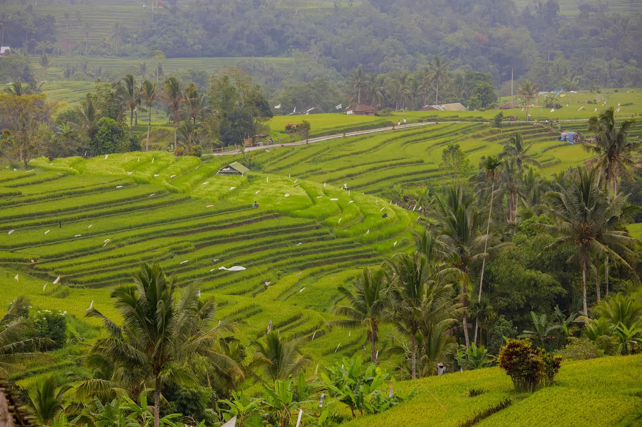
Jatiluwih is the subak landscape at full scale: terraces that curve around whole hillsides under Mount Batukaru, watered by channels whose order was settled by farmers and temples long ago. It is a place to walk for hours.
About 700 m above sea level, under Mount Batukaru.
Who it suits
- Walkers: marked trails run from about 1.5 to 8 km
- Anyone curious how rice and water are managed together
- Photographers and slow travellers, who want space more than a viewpoint
Not for: An hour's stop. It is a long drive from the south coast and is worth a morning at least.
What to do
Walk a marked trail
Routes run from about 1.5 to 8 km along the channels and between the paddies. Take the shorter loop first; the longer ones are in full sun.
Ask about the subak
A farmer-guide can explain who opens which gate and when, and why the temples sit where they do. It is the best way to understand what UNESCO listed.
Visit Pura Luhur Batukaru
One of the island's key temples stands at the foot of Mount Batukaru, within about 2 km of the terraces, in dark, mossy forest. Wear a sarong and sash.
Eat on the edge of the paddies
Simple warungs overlook the terraces; ask what has come from the fields around you.
How long, and when
How long to stay: a morning, or one night
It fits a morning between Munduk and the south, or one night if you want the terraces to yourself at dawn.
The best time of day: early morning
The light is soft and the paths are empty before about 09:00. By midday it is hot and the car park is full.
In the year. The terraces are flooded and reflective at planting, golden near harvest and green in between, and all three are worth seeing. Ask us where the planting stands before you choose a month.
Good to know
Each fact was checked on the web on the date shown. Where one source stands alone, we say so. Advice, such as how long to stay, is ours.
- UNESCO
- The cultural landscape of Bali Province: the subak system, inscribed in 2012. Its Catur Angga Batukaru component includes Jatiluwih.Checked 6 Oct 2026. Source: Jatiluwih village site and UNESCO summaries
- Height
- About 700 m above sea levelChecked 6 Oct 2026. Source: Jatiluwih village site
- Trails and entry
- Marked trails of about 1.5 to 8 km; the foreign-adult entry fee was IDR 75,000 in January 2026 and changesChecked 6 Oct 2026. Source: Bali Holiday Secrets, citing January 2026
- Mount Batukaru
- Bali's second-highest mountain, 2,276 mChecked 6 Oct 2026. Source: Wikipedia, List of mountains in Bali
- Pura Luhur Batukaru
- At the foot of Mount Batukaru, within about 2 km of Jatiluwih; first built in the 11th century, destroyed in 1604 and rebuilt in 1959Checked 6 Oct 2026. Source: Wikipedia, Pura Luhur Batukaru; Go Guides
A day that starts here
Nature · Culture
A subak walk with a farmer
Walk the channels with someone whose family has shared this water for generations.
- Time
- Half day
- Group
- Small group, up to 6
- Fitness
- Easy
- Meeting
- Hotel pick-up
fromUS$58per person